A Book. A Map. A Message.
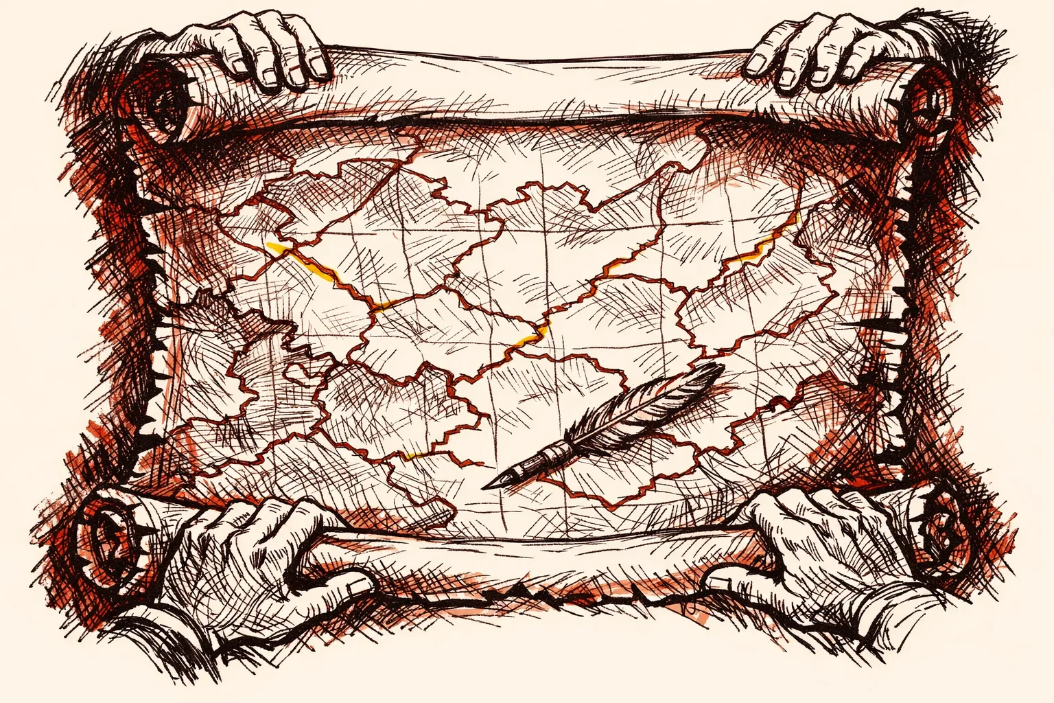
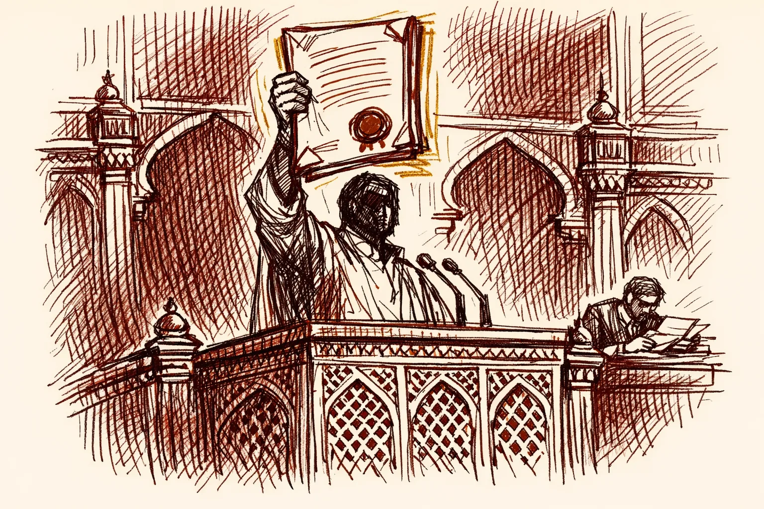
Look at the photograph. Muhammad Yunus, Bangladesh's interim head, is smiling. He is handing a book to General Sahir Shamshad Mirza - the man who runs Pakistan's entire military command structure. The book is titled Art of Triumph. Its cover shows a map. India's seven northeastern states - Assam, Meghalaya, Tripura, Mizoram, Manipur, Nagaland, Arunachal Pradesh - are drawn inside Bangladesh's borders.
Yunus posted the photo himself. On social media.
This was not a slip. According to Indian intelligence sources reported by News18, Yunus has gifted the same book to at least four world leaders - Pakistan's General Mirza, Canadian Prime Minister Trudeau at the United Nations General Assembly, and two Turkish parliamentary delegations. The repetition removes any claim of accident.
The Bangladesh government called the reports "completely false and imaginary." It said the cover showed student graffiti from the July uprising, and that the map proportions looked distorted due to the art style. India's Ministry of External Affairs had not issued a formal protest at the time of publication.
That silence is the real story.
What the Greater Bangladesh Map Actually Claims
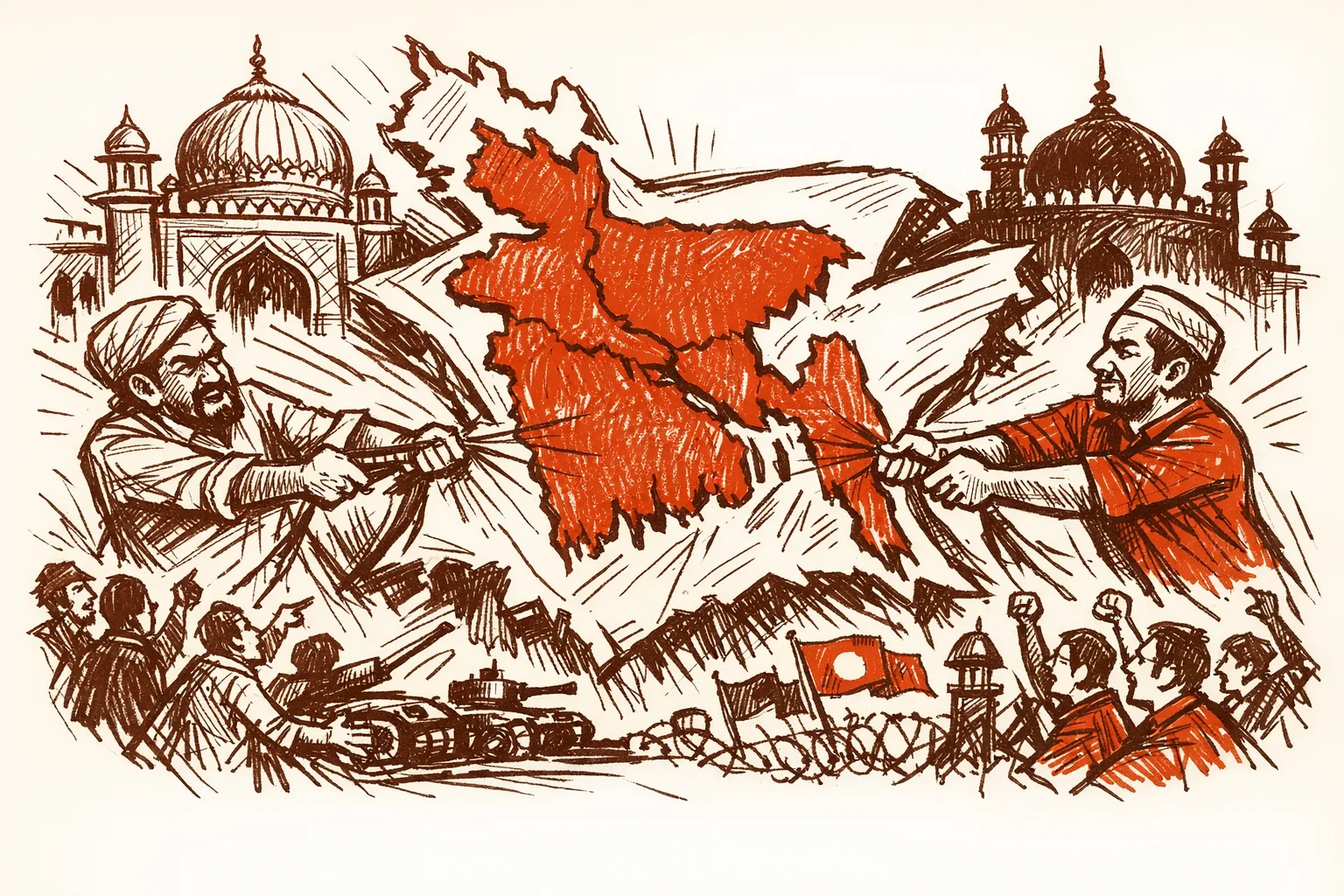
The "Greater Bangladesh" concept is not new. The most aggressive versions claim West Bengal, all seven northeastern states, parts of Bihar and Jharkhand, and Myanmar's Arakan region for Bangladesh. Some versions simultaneously show Kashmir and Punjab absorbed into Pakistan - a complete picture of Indian disintegration.
In April, the Islamist group Saltanat-e-Bangla displayed a Greater Bangladesh map at Dhaka University during Pohela Boisakh celebrations. External Affairs Minister S. Jaishankar confirmed in Parliament - in response to Rajya Sabha Question No. 125 - that the group was backed by a Turkish NGO called the Turkish Youth Federation. No formal diplomatic protest followed.
A close aide to Yunus, Nahidul Islam, shared a similar map online showing West Bengal, Tripura, and Assam as Bangladeshi territory. That post was deleted after public outrage. Another Yunus associate, retired Major General Fazlur Rahman - appointed by Yunus to chair a national inquiry commission - publicly suggested Bangladesh should collaborate with China to occupy India's northeastern states if India attacked Pakistan. Those remarks came days after the Pahalgam terror attack that killed 26 people.
Yunus himself has not condemned any of these statements.
The Map Is Built on Real History - Weaponized
Every territorial claim on the Greater Bangladesh map points to an actual colonial-era administrative unit or a failed political proposal. Rejected history dressed up as grievance is what it is.
In 1905, Lord Curzon's partition of Bengal created a province called Eastern Bengal and Assam, with Dhaka as capital. It merged modern Bangladesh's territory with the entire northeast. The Swadeshi Movement forced the British to annul it in 1911. But the cartographic template survived.
In 1946, the British Cabinet Mission Plan proposed grouping Bengal and Assam together as "Group C" in a loose federation. The Muslim League accepted because it created a Muslim-majority zone incorporating the northeastern states. Assam's first Chief Minister Gopinath Bordoloi fought against his own party leadership - including Nehru, who was reportedly willing to accept the grouping - to keep Assam out. Bordoloi won. Prime Minister Modi inaugurated a statue of Bordoloi in Assam, explicitly noting that Assam had nearly been separated from India.
Greater Bangladesh advocates use this documented near-miss as proof that the northeast "belongs" in their orbit. The historical anchor gives the propaganda real weight with people who do not know the full story.
This Is Not Fringe. This Is Policy.
There is a difference between a radical group posting a map on Facebook and a head of state gifting that map to the chairman of a foreign country's military command.
Yunus crossed that line.
During his April visit to China, he told Chinese officials directly: "The seven states of India, the eastern part of India... they are a landlocked country. They have no way to reach out to the ocean. We are the only guardian of the ocean for all this region. So this opens up a huge possibility. This could be an extension of the Chinese economy."
Former Foreign Secretary Kanwal Sibal noted that Yunus referred to India's northeast without calling it India - mentioning Bhutan and Nepal as sovereign nations while omitting India's name entirely. A Nobel laureate who chooses his words carefully does not omit a country's name by accident.
The International Crisis Group, in its December report "After the Golden Era," noted that India's close alignment with Sheikh Hasina had amplified anti-India sentiment in Bangladesh and left New Delhi poorly positioned when mass protests forced Hasina from power. India did over-invest in one leader. But the solution to that mistake is not to watch the next government gift territorial claims to Pakistan generals.
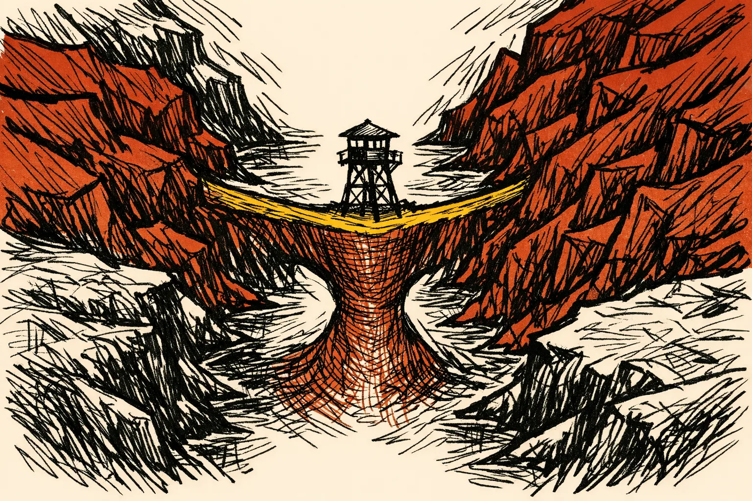
The Real Target - The Siliguri Corridor
The Siliguri Corridor - called the Chicken's Neck - is a strip of land in northern West Bengal just 22 kilometres wide at its narrowest point. It is India's only land connection to its eight northeastern states. More than 40 million people depend on it for daily goods, military supply, and connection to the rest of the country.
The Geopolitical Monitor has described it plainly: the corridor is both indispensable and fragile. Any blockade could cut the northeast off entirely.
Bangladesh's interim government announced plans to revive the Lalmonirhat airbase - a World War Two-era facility - with Chinese assistance. The airbase sits roughly 20 kilometres from India's border. Geostrategist Brahma Chellaney warned that an active Lalmonirhat base would give China the ability to conduct aerial surveillance over Indian military installations and troop movements in the Siliguri Corridor. Reports from SPS Aviation indicate Chinese officials have already visited the site. A Pakistani firm was reportedly proposed as a sub-contractor.
This is the triangle India is watching: maps claiming the northeast, a military airbase near the border, and a Bangladesh-Pakistan-China alignment forming in real time.
What Has Already Been Tried
India's Neighbourhood First policy delivered real results under Sheikh Hasina. Bangladesh got rail transit rights, port access, and a transshipment agreement. India invested in connectivity projects and extended credit lines across Nepal, Bangladesh, Sri Lanka, and Myanmar.
India built its entire Bangladesh relationship through one leader. When she fell, India had no institutional relationships, no second channel, and no influence with whoever came next.
India has taken some steps since. After Yunus's "landlocked" remarks in China, India cancelled the transshipment agreement. It imposed trade restrictions on Bangladesh after Dhaka stopped yarn imports through four land ports. It declared Bangladesh a non-family posting for diplomats. India also established three new military garrisons near the Bangladesh border - the first major Army base near the Bangladesh border in Assam being the Lachit Borphukan Military Station at Bamuni in Dhubri district.
These are the right moves. They are not enough.
How Other Countries Handled Similar Provocations
When China began constructing artificial islands in the South China Sea, the Philippines filed a case under the United Nations Convention on the Law of the Sea. In 2016, the Permanent Court of Arbitration ruled in the Philippines' favor on every major point. China ignored the ruling - but the Philippines created a permanent legal record that changed how every other country engaged with the dispute.
India has a similar tool available. Formal diplomatic protests, lodged in writing with the Bangladesh foreign ministry and recorded at the United Nations, create a legal and diplomatic record. They force Bangladesh to respond on the record. They signal to China and Pakistan that India is tracking the pattern. They cost nothing except political will.
When Estonia faced sustained Russian information warfare - including maps designed to delegitimize Estonian sovereignty - Tallinn built a dedicated counter-narrative infrastructure, trained diplomats to respond within 24 hours, and worked with European partners to amplify the response internationally. India has the scale to do something far larger. It has not deployed it on this file.
Who Is Accountable
The Ministry of External Affairs owns this. EAM Jaishankar has spoken correctly about the northeast's importance as a BIMSTEC hub. He has not demanded a formal explanation from Dhaka for the repeated book-gifting pattern. That demand is overdue.
The Intelligence Bureau and Research and Analysis Wing are already tracking the Saltanat-e-Bangla network and its Turkish NGO backing. Tracking needs to translate into coordinated diplomatic action, not just parliamentary answers.
Chief Minister Himanta Biswa Sarma has been vocal on border issues. That voice needs to be part of India's formal diplomatic posture, not just domestic political communication.
What Would It Cost
A written demarche to Bangladesh's foreign ministry over the book-gifting pattern - citing specific incidents, specific dates, and specific officials - requires no budget. It requires a decision to stop treating each incident as isolated.
Accelerating the Kaladan Multi-Modal Transit Project - connecting Kolkata to Sittwe port in Myanmar and then into Mizoram - reduces India's dependence on Bangladesh for northeast access. That project has been in progress for years. Pushing it to completion is a one-time infrastructure investment with permanent strategic value.
Building redundancy into the Siliguri Corridor - the underground rail tunnel under the Brahmaputra, the Hili-Mahendraganj alternative corridor - carries real cost. The Brahmaputra tunnel project is a 33.7-kilometre twin-tube tunnel connecting Gohpur to Numaligarh in Assam. These projects represent billions of rupees. They are worth every rupee.
What Needs to Happen
First, file a formal written protest with Bangladesh's foreign ministry over the book-gifting incidents. Not a press statement. A formal diplomatic note. On record. Every time a map claiming Indian territory is promoted by a Bangladeshi official or official-adjacent figure, India should respond within 48 hours through official channels.
Second, complete the Kaladan corridor and the northeast's alternative connectivity infrastructure. India cannot allow its access to 40 million people to depend on a 22-kilometre strip of land with a hostile airbase being built nearby.
Third, engage with Bangladesh's new BNP government directly on the specific issue of Greater Bangladesh rhetoric. BNP won Bangladesh's elections in a landslide and has no ideological investment in Yunus's Islamist-aligned narrative. There is an opening. Use it.
Fourth, build the counter-narrative. The Greater Bangladesh map claims territories that are overwhelmingly non-Muslim. West Bengal is 68 percent Hindu. Assam is 61 percent Hindu. Tripura is 83 percent Hindu. India's diplomatic and public communications should make sure that voice is heard regionally and internationally.
The map is a weapon. Weapons work only when the target does not respond. India needs to respond.