Every Monsoon, We Pay the Same Bill
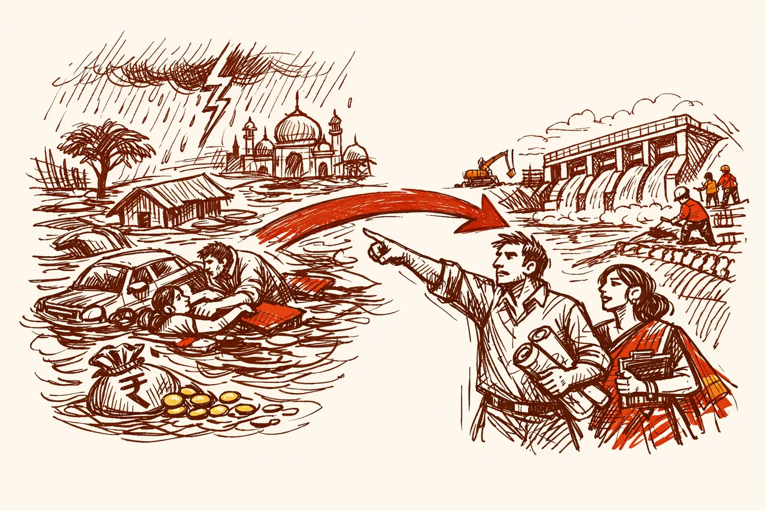
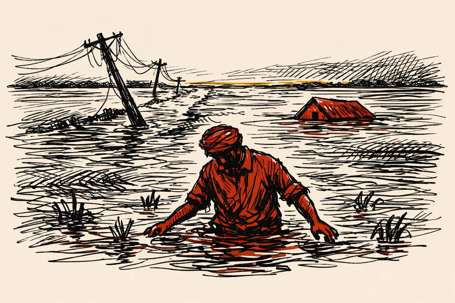
Stand on the banks of the Kosi River in Bihar after the rains hit and you will see what flooding actually looks like up close. Families carrying what they can. Fields underwater. A farmer who spent a year growing a crop watching it rot in brown water. Roads gone. This happens every single year. Not sometimes. Every year.
India loses around $14 billion annually to direct flood damage, according to a World Bank study cited by Drishti IAS. Policy failure drives that number.
I grew up in Chamba, Himachal Pradesh, where rivers swell every monsoon and roads wash away overnight. Seventy years after independence, we are still reacting to the same rivers doing the same thing they do every year.
How Big Is the Problem
According to data compiled by Factly from the Ministry of Jal Shakti, floods killed approximately 1.15 lakh Indians between 1953 and 2021. That is an average of 1,671 deaths per year. Five states - Uttar Pradesh, Andhra Pradesh, Bihar, West Bengal, and Gujarat - account for more than 68,000 of those deaths combined.
On average, 7.4 million hectares of Indian land is hit by floods every single year, according to Ministry of Jal Shakti data analyzed by Factly. That is an area larger than the state of Tamil Nadu.
Between 1953 and 2021, cumulative flood damage crossed Rs 4.86 lakh crore. A published paper in Scientific Reports found that floods account for 68% of all disaster-related economic losses in India between 1980 and 2011, ahead of cyclones, earthquakes, and droughts combined.
Urban flooding costs the country $4 billion annually, projected to hit $30 billion by 2070 if nothing changes. More than 70% of Indian cities currently lack proper stormwater drainage, according to CEED India's climate report.
Why It Keeps Happening
India gets 80% of its annual rainfall in just four months - June through September. That is an enormous volume of water hitting the same land at the same time every year. The geography is not going to change.
Right now, infrastructure and governance cannot handle it - for three specific reasons.
First, floodplains are being built on. Only four states - Manipur, Rajasthan, Uttarakhand, and Jammu and Kashmir - have enacted flood plain zoning laws, according to a Parliamentary Standing Committee on Water Resources report cited by PRS India. That means construction is happening right inside the areas most likely to flood.
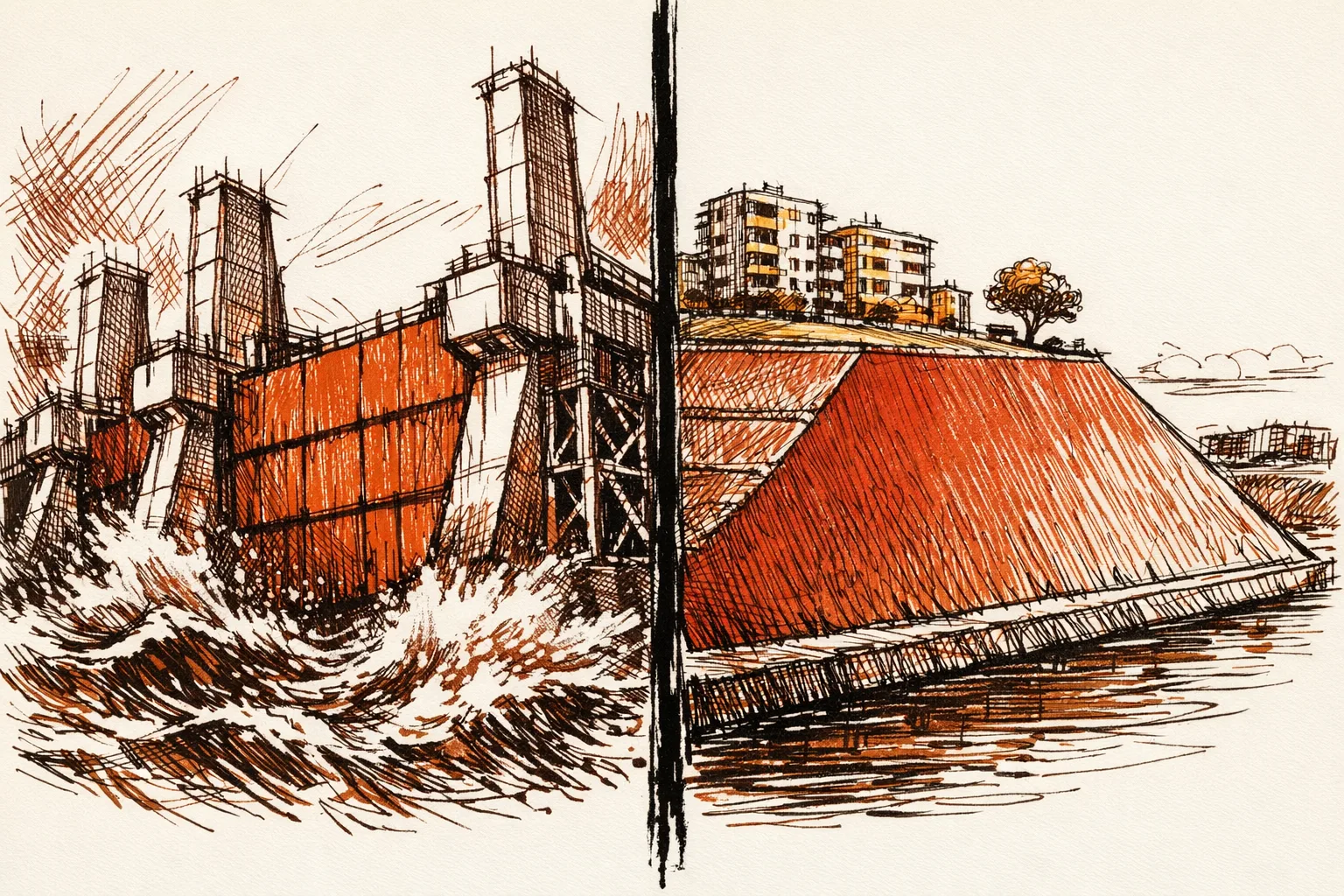
Second, embankments are failing. India has built over 35,000 km of embankments along rivers. According to the Rashtriya Barh Ayog, the flood-prone area in India grew from 25 million hectares to 40 million hectares between 1960 and 2010, despite the spending on these structures.
Third, rivers are filling with silt. The Kosi river bed in Bihar now sits higher than the surrounding land because decades of silt have raised it. When a river's bed is higher than the fields beside it, even moderate rains cause flooding.
Kerala's disaster is the clearest example of dam mismanagement turning a rainfall event into a catastrophe. When reservoirs hit capacity, 35 of 39 dams were opened simultaneously. The Madhav Gadgil Committee had warned in 2011 that ecologically sensitive zones in the Western Ghats needed protection. The warning sat on a shelf.
What Has Already Been Tried
India has been trying to fix flooding since 1954. After severe floods that year, the Union government placed statements before Parliament and set a goal to rid the country of flood damage. It was not met.
In 1976, the government set up the Rashtriya Barh Ayog to study why the flood control projects of 1954 had not worked. The Commission made 207 recommendations in 1980. It found that flooding was increasing because of deforestation, drainage blockages, and badly planned development - not because rainfall had increased. According to Down to Earth, state governments hardly evaluated flood control projects even as of 2001, more than twenty years after the Commission's report.
The National Disaster Management Act was passed in 2005, and the National Disaster Management Authority was set up the same year. Its 2008 guidelines correctly identified non-structural measures - forecasting, zoning, community preparedness - as more important than building more embankments. But implementation remained with state governments, which varied widely in follow-through.
The Flood Management and Border Areas Programme has been running since the 11th Plan. Of 522 projects worth Rs 13,238 crore approved under the 11th and 12th Plans, only 235 were completed. In -25, only one state - Arunachal Pradesh - received funds under the programme.
The diagnosis has been correct for forty years. Execution is the problem.
How Other Countries Fixed This
The Netherlands - One Law, One Authority, One Standard
The Netherlands has 26% of its land below sea level and 60% vulnerable to flooding. After a flood killed 1,836 people in 1953, the Dutch government created a single, permanent flood authority with legal powers and funding guaranteed by law.
The result was the Delta Works - a network of dams, storm surge barriers, and levees completed in 1997. According to AVEVA, the project reshaped 700 km of jagged coastline into an 80-km line of defense. Total cost: $7 billion over 43 years.
The key mechanism was the Delta Norm - a legal standard that says every Dutch citizen must have at most a 1-in-100,000 annual chance of dying from flooding. If new data shows defenses are too weak, they must be upgraded. There is no committee to recommend further study. There is a legal obligation to act.
The one lesson for India: make flood protection a legal right, not a budget line item that states can spend or ignore.
Japan - Treat Flood Defense as Urban Infrastructure
Tokyo sits largely below the flood level of its three main rivers. Japan built super levees - embankments 300 metres wide rather than 10 metres wide, with apartments, parks, and public spaces built on top of them. The flood defense becomes real estate. The real estate funds the flood defense.
Japan also built flood-control basins that temporarily hold river water during peak flows. Four such basins in central Japan stored 250 million cubic metres of water during Typhoon Hagibis, preventing catastrophic downstream flooding.
The one lesson for India: flood protection built into urban development pays for itself. Separate flood budgets that fight city planners never get built.
Who Is Accountable
Flood management is a state subject under India's Constitution. The central government provides only advisory and financial support. No single authority owns the outcome.
The Central Water Commission - set up in 1945 - is responsible for flood forecasting at 173 stations and for technical support to states. In -27, the entire flood management programme received Rs 797 crore. For a problem that causes tens of thousands of crores in annual damage, that allocation is inadequate.
The Parliamentary Standing Committee on Water Resources flagged that some states - including Bihar, Himachal Pradesh, and Tamil Nadu - had not undertaken flood forecasting activities. In eight states, project reports were not prepared as per scheme guidelines. Delays in approvals caused delays in implementation.
What Would It Cost
ESCAP estimated that India needs $46.3 billion annually in climate adaptation investment, according to Down to Earth.
For comparison, the Netherlands spent $7 billion over 43 years on the Delta Works. Japan predicted a major Tokyo flood would cause roughly $200 billion in damage. Their flood defense investment is designed to prevent that single event.
India's flood damage from 1993 to 2022 totalled $180 billion, according to CEED India. The current allocation for the Flood Management and Border Areas Programme - Rs 797 crore for all of India - would need to increase by a factor of ten to begin to match the scale of required action.
What Needs to Happen
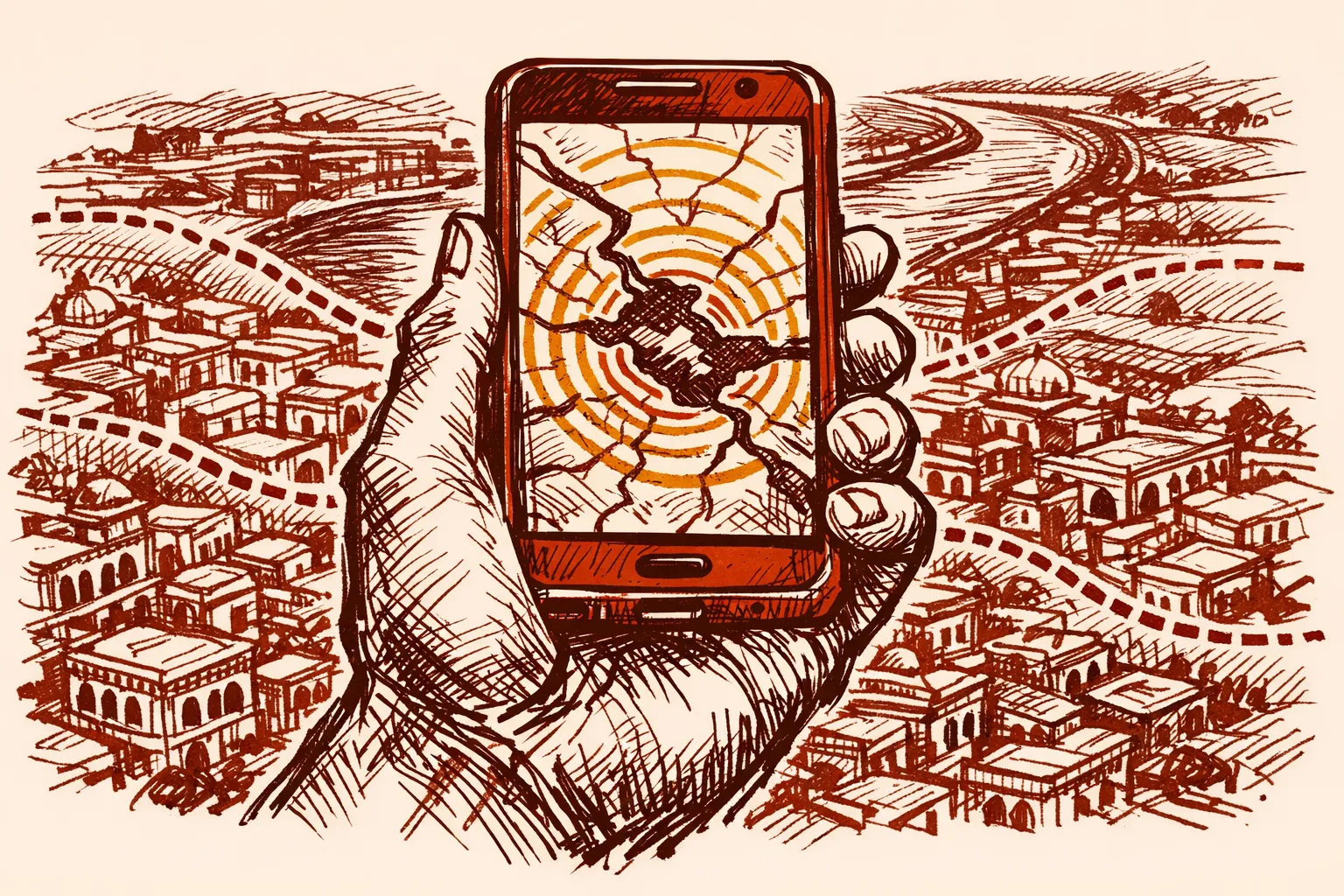
The Modi government has already moved in the right direction on early warning systems. The India Meteorological Department now issues district-level, colour-coded impact-based flood forecasts. The Central Water Commission launched the Flood Watch India app giving real-time flood forecasts up to 7 days ahead. Google partnered with the Central Water Commission to deploy AI-based flood prediction in the Ganges-Brahmaputra basin.
But early warning is only useful if people can act on it. And people cannot act on it if they are already living inside a floodplain with no legal protection and no drainage.
First, floodplain zoning must become mandatory and enforceable. The central government has circulated a model bill since 1975. Only four states passed it. Moving flood control to the Concurrent List - so both centre and states share responsibility - is the correct fix and should be implemented.
Second, the Flood Management and Border Areas Programme needs a structural overhaul. States that do not prepare project reports on time, do not release their matching share, and do not evaluate completed projects should lose access to funds. The current system rewards delay. The new system must reward results.
Third, India needs river basin authorities with real power. Right now, one state builds embankments that push water downstream into the next state. River Basin Organizations - recommended by the National Disaster Management Authority in 2008 - need legal standing and funding. They exist on paper. They need to exist on the ground.
Fourth, silt must be removed from major rivers at scale. The Kosi, the Brahmaputra, the Yamuna carry enormous sediment loads from Himalayan catchments. A river that sits above the surrounding land will flood regardless of what embankments are built beside it.
The National Commission on Floods made 207 recommendations in 1980. Forty-five years later, India still has no permanent national flood authority. That is not a knowledge problem. It is a governance problem. And governance problems can be fixed faster than rivers can be tamed.